
Natural Flood Management

Natural Flood Management is a way of working with natural processes to help manage the risk of flooding to people and properties, for example by slowing the flow and storing water where it’s safe to do so until flood waters recede.

It has many benefits for the environment such as creating and enhancing habitat for a variety of wildlife including fish, invertebrates, mammals and birds.

Natural Flood Management is only expected to have an impact during the more regular flooding events, with the types of features being trialled unlikely to have an impact during large events. However, the more of these features that are constructed in the catchment, the more of an impact they will collectively have in reducing flood risk to properties.
Flood Management Projects

There are four schemes in development in the Broadland Rivers Catchment forming part of a nationwide pilot by Defra looking into the impacts of Natural Flood Management.

The scheme locations are: Buxton on the Camping Beck (Bure); Worthing on the Blackwater and Whitewater confluence (Wensum); Marlingford on the main Yare; and a scheme on the Scarrow Beck (Upper Bure).

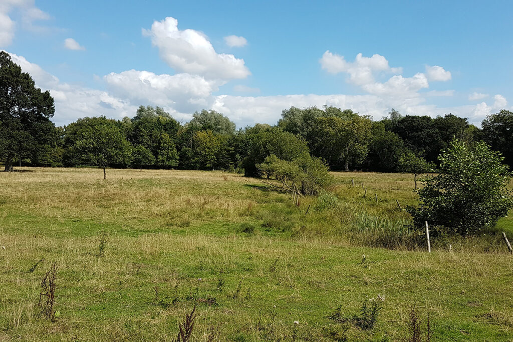
A wide view of open grassland bordered by trees and shrubs under a bright blue sky with scattered white clouds. A narrow ditch or wetland channel runs through the meadow, with fence posts marking parts of the landscape. The scene highlights a peaceful rural habitat with a mix of grassland, scrub and woodland.

Buxton Scheme

The Environment Agency worked with Norfolk Rivers Internal Drainage Board and the Dudwick Estate to help manage the risk of flooding to properties along the Camping Beck in Buxton. The scheme involves diverting flood waters into a storage feature adjacent to the Camping Beck, above Buxton village.

This holds back flood water temporarily until levels recede whilst also providing habitat that will attract a variety of wildlife. This project will be monitored until 2021. Monitoring consists of a mixture of ecological, hydrometric and physical habitat surveys.

For more information see the Buxton Environment Agency fact sheet.

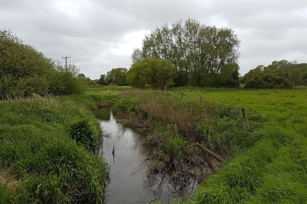
A narrow stream winds through a green grassland landscape bordered by reeds, shrubs and mature trees. Fence posts line parts of the stream bank, and dense vegetation surrounds the water. The scene is viewed under an overcast sky with grey clouds, highlighting a natural wetland habitat in a rural setting.

Worthing Scheme

The Environment Agency is working with landowners and the Norfolk Rivers Trust to help manage the risk of flooding to properties in Worthing while also improving the area for wildlife.

The works are being carried out on both the Blackwater and Whitewater (also known as the Wendling Beck) and involve reconnecting the river to the floodplain, installation of leaky dams and woody debris to slow the flow and some day-lighting in the wooded areas to allow more light through to the channel.

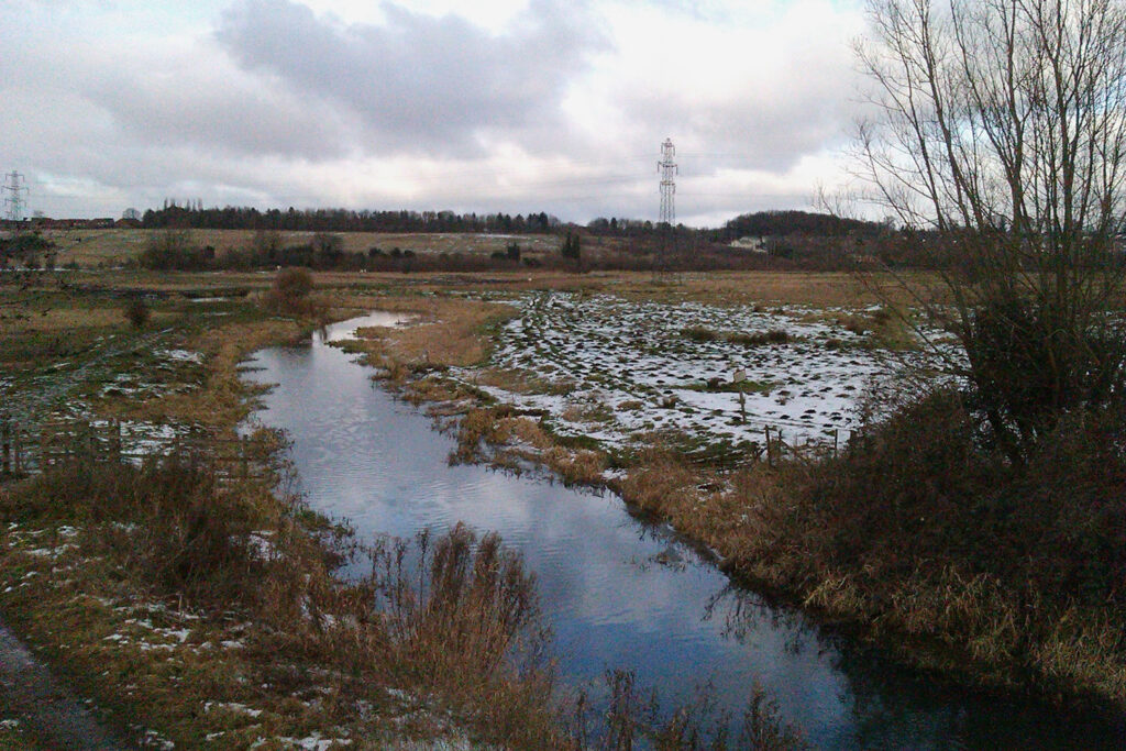
A winding stream flows through an open wetland landscape with patches of snow on the surrounding grass and reeds. Bare trees line the waterway, while electricity pylons and distant woodland sit beneath a cloudy winter sky.

Marlingford Scheme

The Environment Agency worked with Great Melton Farms and Natural England to help manage the risk of flooding in Marlingford to properties from the River Yare, whilst also improving the habitat available for wildlife.

The works involved installing a series of flow deflectors and lengths of woody debris into the river channel of the River Yare at Marlingford. These structures improve wildlife, alongside physically backing up water levels to encourage it onto the floodplain more frequently than previously. Scrapes were dug within the floodplain to increase water storage capacity and provide habitat for wading birds, such as lapwing, teal, and snipe, invertebrates and other wildlife.

For more information see the Marlingford Environment Agency fact sheet.

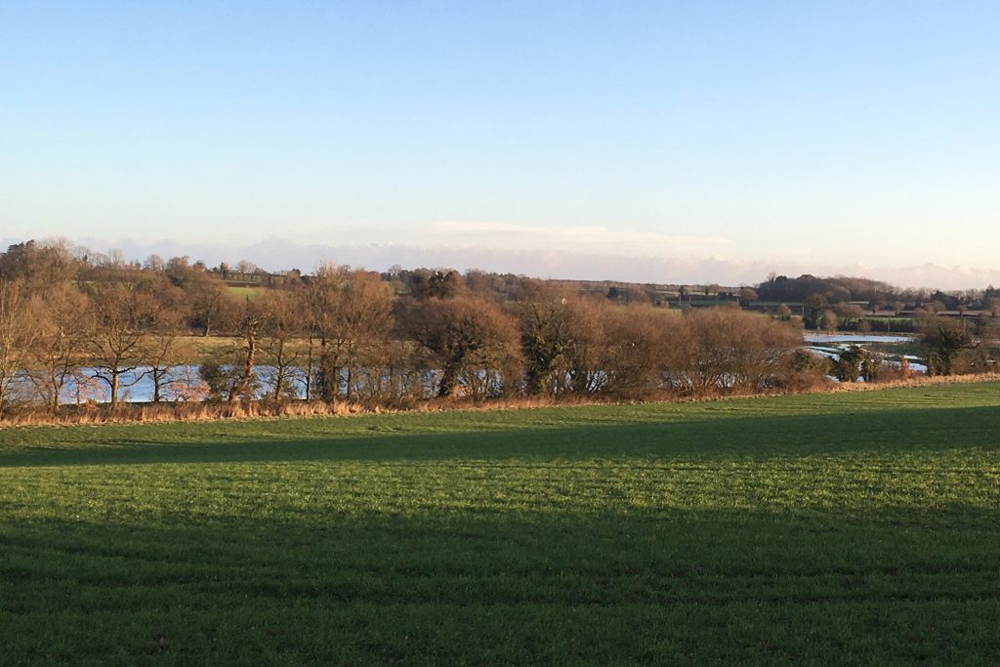
Rolling green pasture overlooking a line of leafless trees and several small lakes or ponds in the distance. The landscape stretches across a rural countryside beneath a clear, pale blue sky.

Scarrow Beck Scheme

The Environment Agency is working with landowners and the National Trust to help manage the risk of flooding to properties above Aylsham while also improving the area for wildlife and biodiversity.

The works will be carried out on the Scarrow Beck drain which run through the meadows rather than on the main channel of the Bure.

Proposed interventions include embankment lowering to allow the river to reconnect with the meadows in high flow, and leaky log jams to slow the flow.