
Our Catchment Area

Despite the name implying it only follows the Broads’ rivers, the Broadland Rivers Catchment is much larger than that and extends across a large portion of East Anglia.

The Broadland Rivers Catchment is relatively large at around 3,200km² and is mostly rural, with over 80% comprising arable farmland. It includes around two thirds of Norfolk and part of north Suffolk. Despite its rural nature, the Catchment also includes settlements such as the city of Norwich and the seaside towns of Great Yarmouth and Lowestoft.

The four main rivers (and sub-catchments) are the Bure, Waveney, Wensum, and Yare. Water that falls in the catchment percolates into groundwater, runs, drains or is pumped into the rivers. This water ultimately flows through, or under, the Broads area and out to sea at Great Yarmouth or Lowestoft. As the rivers reach the Broads Executive Area – where the land is mostly at or below sea level – they become wide, slow flowing and tidal.

The Broads is also a member of the national park family and is Britain’s largest designated wetland. The area includes over 60 shallow lakes or ‘broads’ created by medieval peat diggings and flooded by rising sea levels. It is one of Europe’s most popular inland waterways.

The main rivers and sub-catchments

The main catchment is divided into four smaller sub-catchments – click the boxes below to learn more about what makes each one unique.

Facts about the Broads Catchment
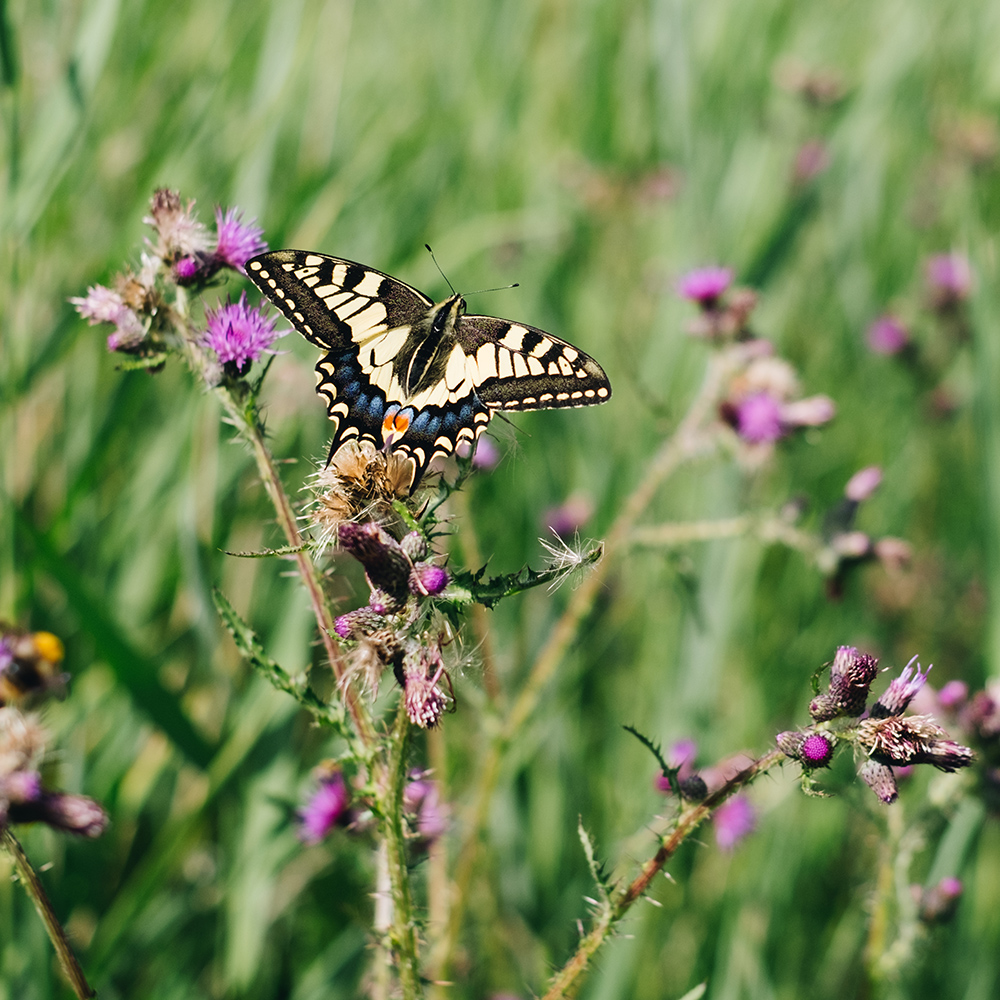
Close-up of a swallowtail butterfly resting on a purple thistle flower in tall green grass, with wings open showing yellow and black markings

Valuable wildlife and landscape designations

The catchment contains many sites of international conservation importance with a range of habitats supporting a diversity of species, including some that are exceptionally rare.

The Waveney & Little Ouse Valley Fens, the Norfolk Valley Fens, the River Wensum, The Broads and Winterton-Horsey Dunes are all Special Areas of Conservation (SACs) designated for the presence of species and habitats of European significance. The Broadland and Breydon Water Special Protection Areas (SPAs) and Ramsar sites are designated for internationally important birdlife.

There are over 90 Sites of Special Scientific Interest (SSSIs) across the catchment and many County Wildlife Sites (CWS) and Local Nature Reserves (LNRs). Small areas are part of the Norfolk Coast National Landscape.

Source of water supply and treatment

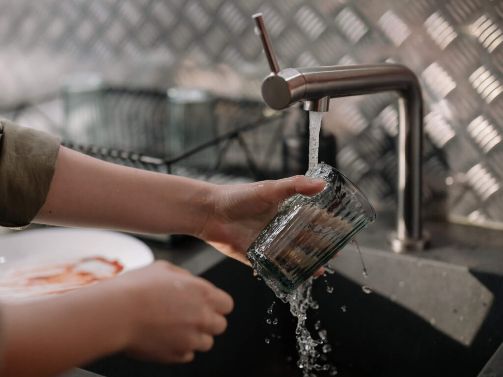
The groundwater, rivers and broads of the catchment provide sources of public drinking water and support water dependent industries, especially around Norwich. Private drinking water and agricultural supplies are located throughout the catchment.

Most public sewage treatment works (‘water recycling centres’) return waste water to rivers, but some discharge to the sea. There are several large industrial waste water systems and many private sewage treatment works, including septic tanks, which discharge to rivers or to ground.

Close-up of hands rinsing a glass under running tap water in a kitchen sink. Water splashes from the glass as dishes and a draining rack sit nearby in the background.
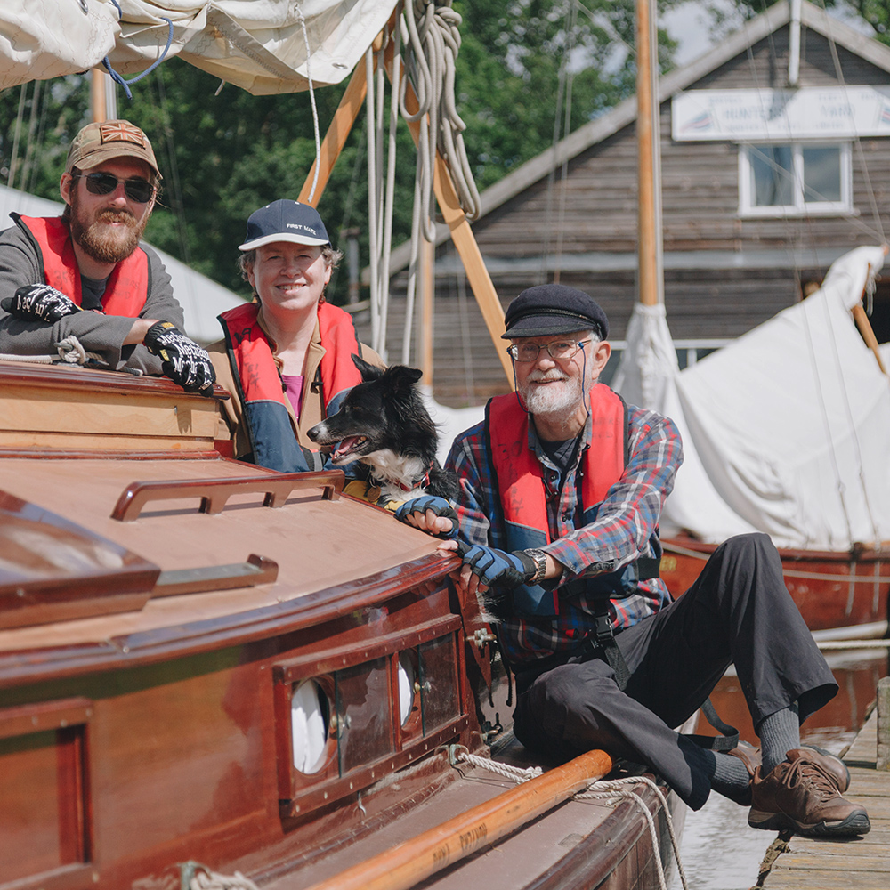
Three people and a dog wearing life jackets sit on a wooden sailing boat moored alongside a dock, with masts, rigging and boathouse buildings visible in the background

Population and economy

The population of the Broadland Catchment is around 850,000 permanent residents.

Tourism, agriculture, and food & drink processing are industries essential to the area’s economy.

Around eight million people visit the Broads every year, undertaking activities such as boating, sailing, angling, birdwatching and more. This supports thousands of jobs and has a significant impact on the local economy, bringing in around £660m a year to the Broads (based on STEAM data 2019, Broads including influence area).

Recreation

Boating, walking, cycling, angling and birdwatching are popular activities throughout the catchment and on the coast.

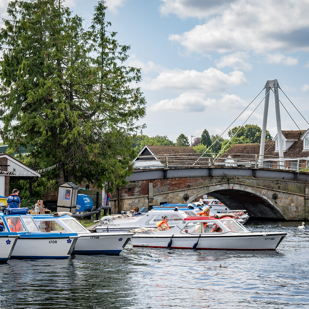
There is excellent inland navigation mainly in the Broads. Angling for coarse fish is also particularly popular on tidal rivers, with renowned barbel fishing on the River Wensum and brown trout fishing on the upper Bure and Wensum. Bathing beaches on the Norfolk and Suffolk coast currently meet European guideline standards.

A line of small motor boats on a river near a brick road bridge, with people wearing life jackets aboard and riverside buildings and trees in the background.
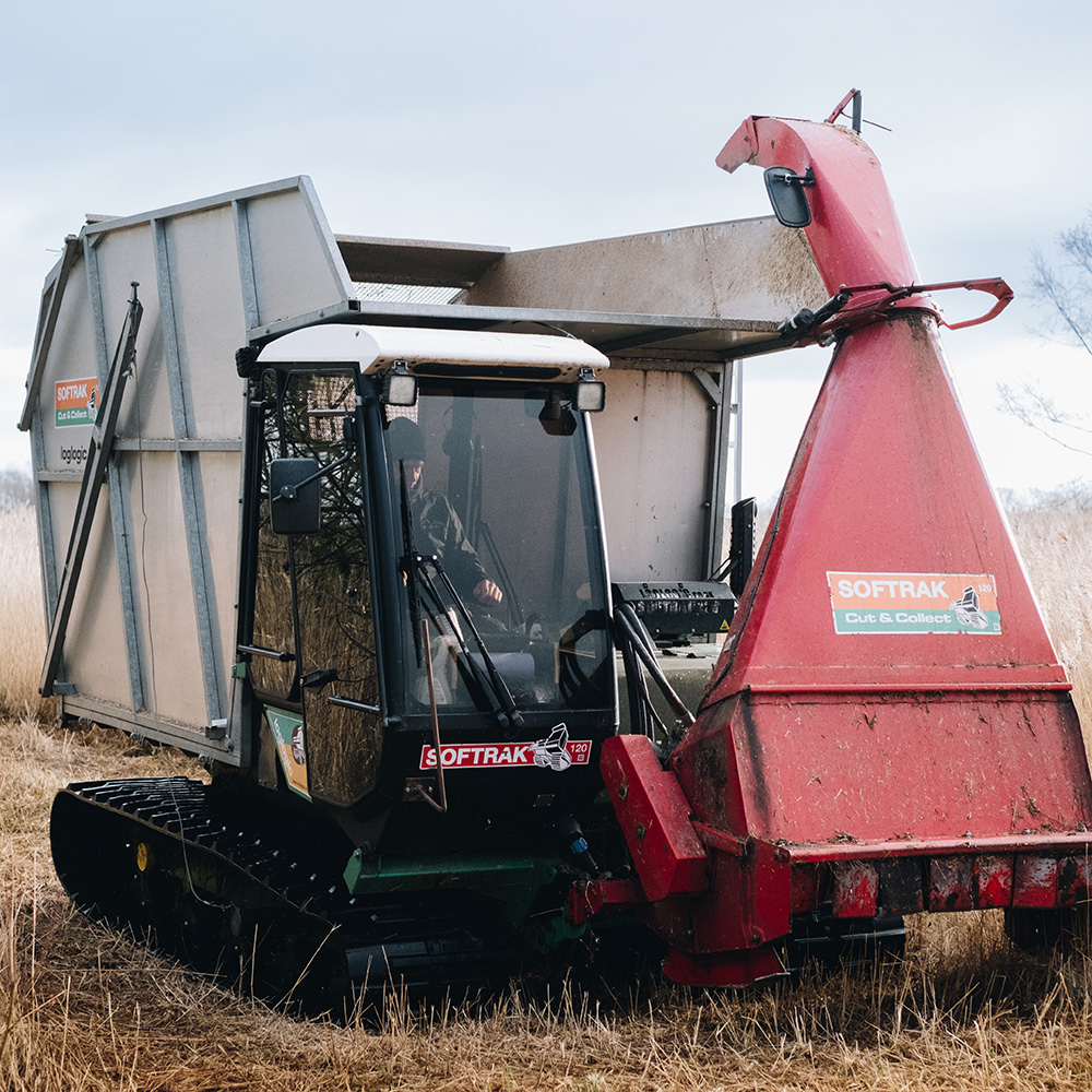
A tracked “cut and collect” harvesting machine operating in tall marsh grass, with a large collection hopper and cutting head visible.

Land use

Most land within the catchment (around 80%) is used for agriculture, with grazing meadows and semi-natural fens in river valleys and around the broads. There are small, scattered areas of woodland, scrub and heath.

Much of the land is classified as high grade (grades 1-3) for agricultural production and crop yields are high in comparison with the national average. Agricultural land management dominates the landscape of the catchment.

Geology and soils

The underlying geology is Upper Cretaceous White Chalk to the west and Pliocene and Pleistocene Crag (gravel, sand and silt mix) to the east. This is largely covered by superficial Quaternary glacial deposits of sand, silt and clay. Chalk is close to the surface or even exposed in some locations, mainly in the north-west, giving rise to chalk streams.

In general terms, peat occurs around the Broads and along the river valleys upstream of Norwich; finer, sandier soils occur to the north and east; and heavier clay soils are found to the south and west. In reality, there is considerable variability in soil type even within individual fields. Cranfield University Soilscapes viewer gives more detailed information on this.

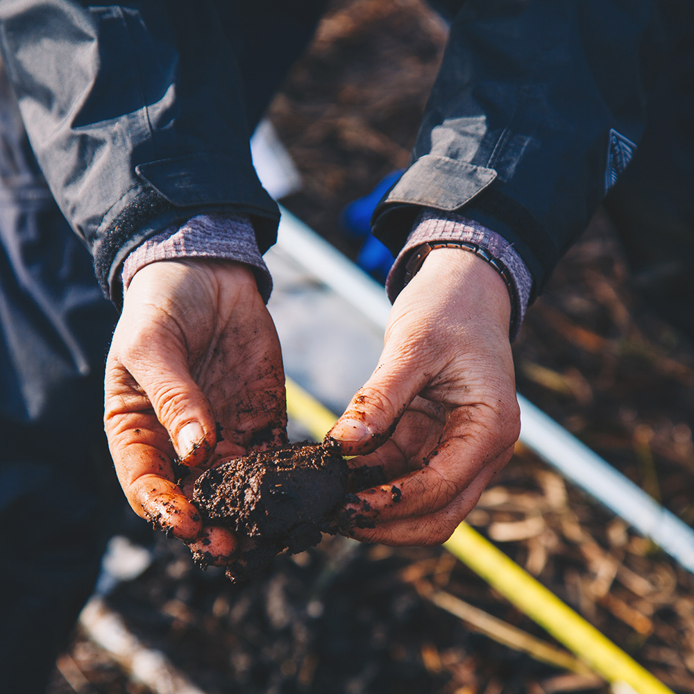
A close-up of someone wearing a dark-coloured jacket holding a peat core
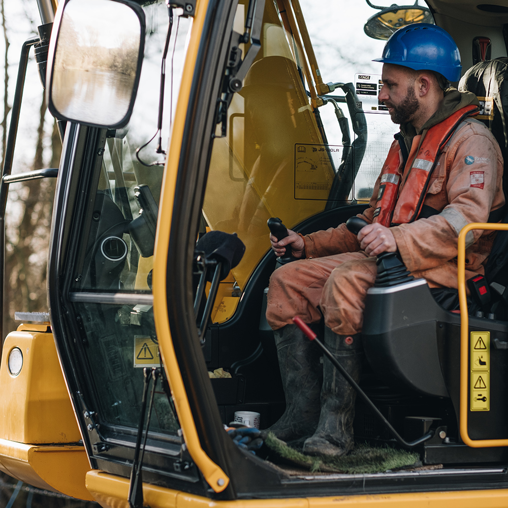
Person operating a tracked excavator from inside the cab, using the controls while wearing protective clothing and a hard hat

Land drainage and flood risk management

In rural areas, the land has been extensively drained with under-field drains, ditches and catch-dykes. River channels have also been artificially deepened and straightened to drain the surrounding agricultural land in order to support increased crop productivity. Thirty-six water pumps and 746 km of watercourse are maintained across the Broadland catchment.

Flood risk management, including construction and maintenance of embankments, walls and flow regulating structures, reduces flood risk to agricultural land, infrastructure and properties, and over 30,000 people.

Elevation and slope

The catchment is low-lying with highest elevations to the north and west and a maximum elevation of around 100 m above sea level.

The land is predominantly gently sloping with steeper gradients bordering the river valleys to the south and west.

Rainfall is relatively low with higher average levels to the west. Heavy rainfall can occur at all times of the year.

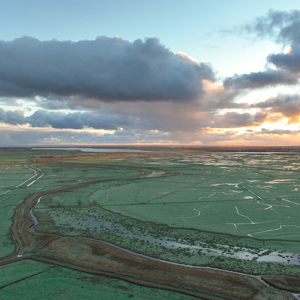
Aerial view of wide green marshland criss-crossed by drainage channels and flooded fields, stretching toward the horizon under dramatic clouds and low evening light