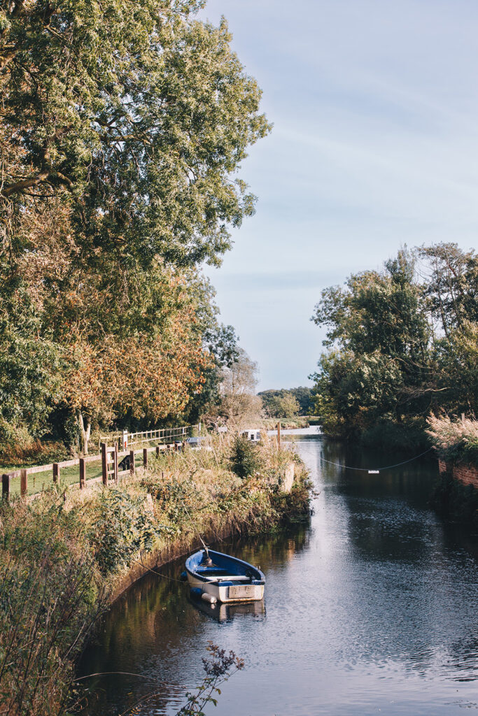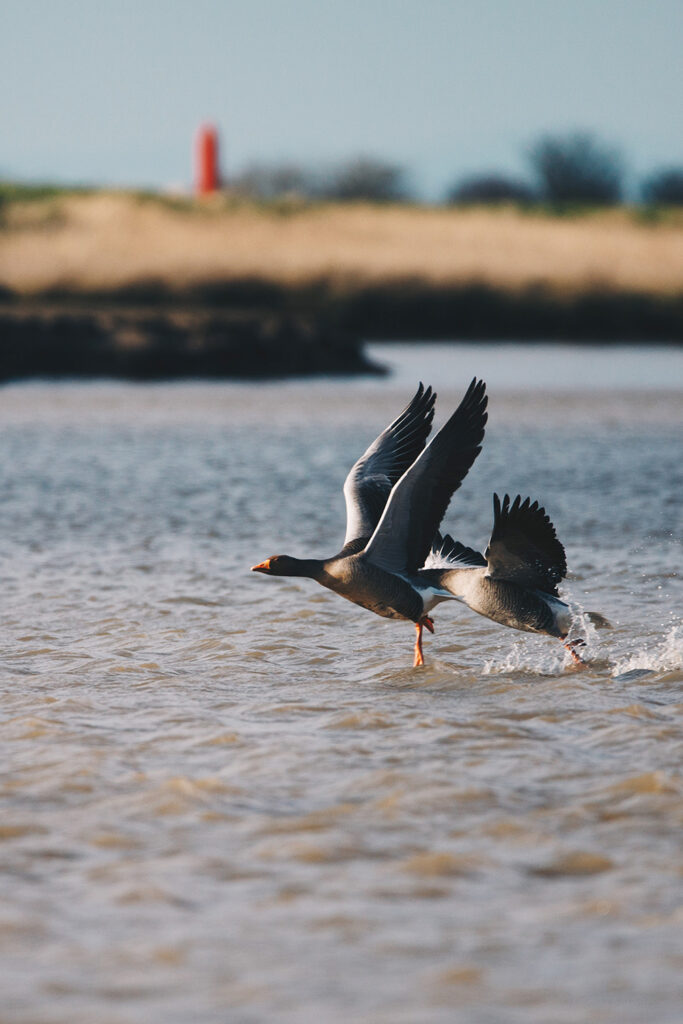

The Waveney starts as a small ditch near the villages of Redgrave (Suffolk) and South Lopham (Norfolk). It forms the historical boundary between the two East-Anglian counties for much of its length.
From its source the river flows through the internationally important Redgrave and Lopham Fen SSSI before continuing east through Diss and Scole. Just before Hoxne it is joined by the River Dove, its largest tributary. Beyond Wortwell, the removal of the sluice at Homersfield has improved fish passage and restored more natural river processes.
At Bungay the Waveney forms a dramatic meander that almost completely encircles the town before winding through the surrounding marshes towards Beccles. Below Beccles the river becomes wider and deeper, providing navigation through to Breydon Water or, via the sea lock at Oulton Broad, access to Lowestoft.
Environment Agency records show that the Waveney catchment is made up of twenty water bodies, of which twelve are natural and eight are heavily modified. Land use across the catchment is predominantly agricultural, with ongoing partnership work focused on improving fish passage and enhancing water quality.
Several organisations are actively involved in protecting and restoring the river. The Waveney Catchment Partnership brings together Essex and Suffolk Water, Natural England, the Environment Agency, agronomists, farmers and landowners to improve the catchment, while the River Waveney Trust works with local communities on projects to restore the river and promote greater understanding of its wildlife and heritage.
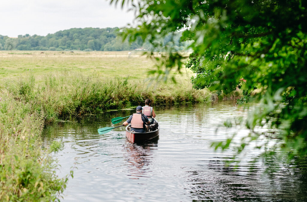
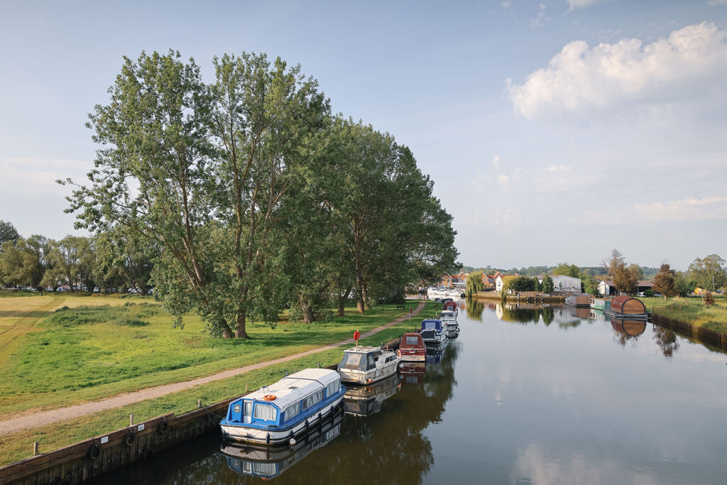
The Waveney is navigable for motor boats from Geldeston Lock to the sea at Great Yarmouth. Smaller craft such as rowing boats, canoes and kayaks can continue upstream for many miles, reaching as far as Scole, making the river popular with both boaters and paddlers.